Aygepar: Difference between revisions
Appearance
Content deleted Content added
No edit summary |
|||
| Line 20: | Line 20: | ||
|footnotes = {{GEOnet2|32FA881E73023774E0440003BA962ED3}} |
|footnotes = {{GEOnet2|32FA881E73023774E0440003BA962ED3}} |
||
}} |
}} |
||
'''Aygepar''' ({{ |
'''Aygepar''' ({{langx|hy|Այգեպար}}) is a village in the [[Berd Municipality]] of the [[Tavush Province]] of [[Armenia]]. |
||
== References == |
== References == |
||
Latest revision as of 06:54, 2 November 2024
40°56′31″N 45°27′44″E / 40.94194°N 45.46222°E
Aygepar
Այգեպար | |
|---|---|
| Coordinates: 40°56′31″N 45°27′44″E / 40.94194°N 45.46222°E | |
| Country | Armenia |
| Province | Tavush |
| Municipality | Berd |
| Elevation | 680 m (2,230 ft) |
| Population | |
| • Total | 485 |
| Time zone | UTC+4 (AMT) |
| Aygepar at GEOnet Names Server | |
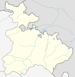
Aygepar (Armenian: Այգեպար) is a village in the Berd Municipality of the Tavush Province of Armenia.


