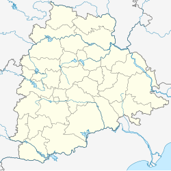
Kothur
Appearance
This article needs additional citations for verification. (November 2009) |
Kothur | |
|---|---|
Census town | |
| Coordinates: 17°08′41″N 78°17′19″E / 17.144727°N 78.288574°E | |
| Country | |
| State | Telangana |
| District | Ranga Reddy |
| Population | |
| • Total | 6,863 |
| Languages | |
| • Official | Telugu |
| Time zone | UTC+5:30 (IST) |
| PIN | 509228 |
| Telephone code | 91-8548 |
| Vehicle registration | TS-07 |
| Website | telangana |
Kothur is a census town in Rangareddy district in the state of Telangana in India.[1] It is situated about 36 km (22 mi) from Hyderabad, the state capital, near by Hyderabad International Airport in Hyderabad to Bangalore NH 7.
It is not to be confused with Kothur village in the Jayashankar Bhupalpally district of Telangana, some 60 km east of Warangal. The newly rediscovered 6th-century Devunigutta Temple is some 4 km away from that Kothur.
Geography
[edit]Kothur is located at 17°08′41″N 78°17′19″E / 17.144727°N 78.288574°E.
See also
[edit]References
[edit]


