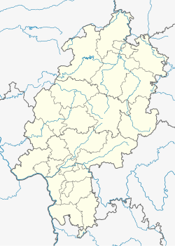
Wiesbaden-Rheingauviertel
Appearance
Rheingauviertel | |
|---|---|
 Ringkirche in the eastern part of Rheingauviertel, at the border to Westend borough | |
| Coordinates: 50°04′32″N 8°13′36″E / 50.07556°N 8.22667°E | |
| Country | Germany |
| State | Hesse |
| District | Urban district |
| City | Wiesbaden |
| Government | |
| • Local representative | Dorothée Riemeier (Greens) |
| Area | |
• Total | 2.47 km2 (0.95 sq mi) |
| Population (2020-12-31)[1] | |
• Total | 22,511 |
| • Density | 9,100/km2 (24,000/sq mi) |
| Time zone | UTC+01:00 (CET) |
| • Summer (DST) | UTC+02:00 (CEST) |
| Postal codes | 65185, 65187, 65195, 65197 |
| Dialling codes | 0611 |
Rheingauviertel is a borough of the city of Wiesbaden, Hesse, Germany. With over 22,000 inhabitants, it is one of the most-populated of Wiesbaden's boroughs. It is located in the centre of the city. It is named after the wine region Rheingau to the west of Wiesbaden.
References
[edit]- ^ "Bevölkerung in den Ortsbezirken am 31. Dezember 2020". Landeshauptstadt Wiesbaden. Retrieved 22 September 2021.
External links
[edit]- Official Wiesbaden-Rheingauviertel website (in German)
Wikimedia Commons has media related to Wiesbaden-Rheingauviertel.


