Datzetal
Appearance
Datzetal | |
|---|---|
| Coordinates: 53°39′N 13°28′E / 53.650°N 13.467°E | |
| Country | Germany |
| State | Mecklenburg-Vorpommern |
| District | Mecklenburgische Seenplatte |
| Municipal assoc. | Friedland |
| Government | |
| • Mayor | Wilfried Koos |
| Area | |
• Total | 41.06 km2 (15.85 sq mi) |
| Elevation | 30 m (100 ft) |
| Population (2023-12-31)[1] | |
• Total | 885 |
| • Density | 22/km2 (56/sq mi) |
| Time zone | UTC+01:00 (CET) |
| • Summer (DST) | UTC+02:00 (CEST) |
| Postal codes | 17099 |
| Dialling codes | 039601, 039606, 039608 |
| Vehicle registration | MST |
| Website | www.friedland-mecklenburg.de |
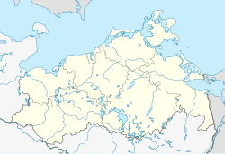
Datzetal is a municipality in the district Mecklenburgische Seenplatte, in Mecklenburg-Vorpommern, Germany.
References
[edit]- ^ "Bevölkerungsstand der Kreise, Ämter und Gemeinden 2023" (XLS) (in German). Statistisches Amt Mecklenburg-Vorpommern. 2023.


