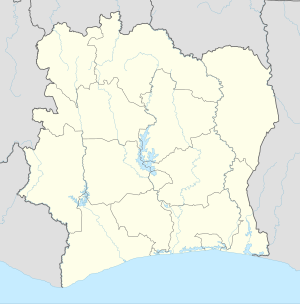
Niakaramandougou
Appearance
Niakaramandougou | |
|---|---|
Town, sub-prefecture, and commune | |
| Nickname: Niakara | |
| Coordinates: 8°40′N 5°17′W / 8.667°N 5.283°W | |
| Country | |
| District | Vallée du Bandama |
| Region | Hambol |
| Department | Niakaramandougou |
| Area | |
| • Total | 2,780 km2 (1,070 sq mi) |
| Population (2021 census)[2] | |
| • Total | 78,301 |
| • Density | 28/km2 (73/sq mi) |
| • Town | 16,812[1] |
| (2014 census) | |
| Time zone | UTC+0 (GMT) |
Niakaramandougou (often referred to as Niakara) is a town in north-central Ivory Coast. It is a sub-prefecture of and the seat of Niakaramandougou Department in Hambol Region, Vallée du Bandama District. Niakaramandougou is also a commune.
In 2021, the population of the sub-prefecture of Niakaramandougou was 78,301.[2]
Villages
The 15 villages of the sub-prefecture of Niakara and their population in 2014[3]
- Angolokaha (1 208)
- Folofonkaha (1 978)
- Niakara (16 812)
- Kafiné (3 165)
- Kanawolo (3 940)
- Kiohan (411)
- Latokaha (5 713)
- Longo (3 498)
- Ouréguékaha (3 177)
- Pékaha (750)
- Pétionnara (4 031)
- Pétonkaha (1 448)
- Sérigbokaha (740)
- Sinkaha (2 025)
- Timorokaha (928)
Notes
- ^ Citypopulation.de Population of cities & localities in Ivory Coast
- ^ a b Citypopulation.de Population of the regions and sub-prefectures of Ivory Coast
- ^ [1]


