Shili
Appearance
Shili
Шилі | |
|---|---|
Village | |
| Coordinates: 51°35′30″N 64°44′33″E / 51.59167°N 64.74250°E | |
| Country | Kazakhstan |
| Region | Kostanay Region |
| District | Naurzum District |
| Population (2009) | |
• Total | 697 |
| Time zone | UTC+6 (East Kazakhstan Time) |
| Post code | 111408 |
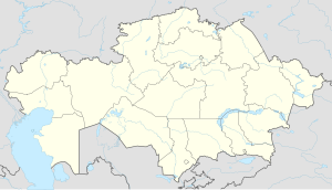
Shili (Template:Lang-kk; Template:Lang-ru) is a village in Naurzum District, Kostanay Region, Kazakhstan. It is the administrative center of the Shili Rural District (KATO code - 395859100).[1] Population: 697 (2009 Census results);[2] 1,143 (1999 Census results).[2][3]
Geography
The village is located about 37 kilometers (23 mi) east of Karamendy, the district administrative center. Now abandoned Naurzum village is located 17 kilometers (11 mi) to the WSW. Lake Zharman lies 15 kilometers (9.3 mi) to the west.[4][5]
References
- ^ "База КАТО". Агентство Республики Казахстан по статистике. Archived from the original on 2013-03-10.
- ^ a b "Население Республики Казахстан" [Population of the Republic of Kazakhstan] (in Russian). Департамент социальной и демографической статистики. Retrieved 8 December 2013.
- ^ "Итоги Национальной переписи населения Республики Казахстан 2009 года" (PDF). Агентство Республики Казахстан по статистике. Archived from the original (PDF) on 2013-02-27.
- ^ "M-41 Topographic Chart (in Russian)". Retrieved 17 September 2022.
- ^ Google Earth.


