Ancón de Sardinas
Appearance
| Ancón de Sardinas | |
|---|---|
| Location | Colombia–Ecuador border |
| Coordinates | 1°28′1″N 78°58′48″W / 1.46694°N 78.98000°W |
| Ocean/sea sources | Pacific Ocean |
| Basin countries | Colombia, Ecuador |
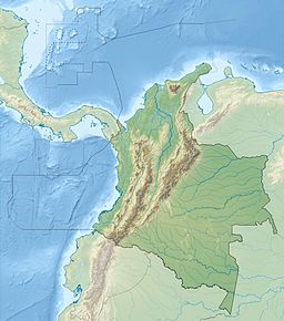
Ancón de Sardinas ('Sardinas Bight') is a bight in the Pacific Ocean, located on the border between Colombia, which is to the north (Nariño Department), and Ecuador, which is to the south (Esmeraldas Province).[1] In this place begins the maritime delimitation of the border between Colombia and Ecuador, which consists of a single treaty signed on August 23, 1975[2] and, from the intersection of the extension of the land border and the confluence of the territorial areas of both countries, a midpoint is marked in the bay; From here to the Mataje River, which flows into it, a line is drawn that terminates the boundary.[3]
References
[edit]- ^ Información de Bahía de Ancón de Sardinas
- ^ Armada Nacional de Colombia. "Convenio sobre Delimitación de Áreas Marinas y Submarinas y Cooperación Marítima entre las Repúblicas de Colombia y del Ecuador". Archived from the original on 14 November 2011. Retrieved 17 April 2017. (ver mapa Archived 2013-11-10 at the Wayback Machine)
- ^ "Ecuador y Colombia ratifican punto de límite marítimo". Periódico El Universo. Retrieved 19 October 2011.

