Lesaka
Appearance
Lesaka | |
|---|---|
| Lesaka | |
 | |
| Coordinates: 43°14′50″N 1°42′10″W / 43.24722°N 1.70278°W | |
| Country | Spain |
| Autonomous community | Navarre |
| Province | Navarre |
| Comarca / Eskualdea | Bortziriak |
| Founded | 1402 |
| Government | |
| • Mayor | José Luis Etxegarai (Geroa Bai) |
| Area | |
| • Total | 55.54 km2 (21.44 sq mi) |
| Elevation | 77 m (253 ft) |
| Population (2018)[3] | |
| • Total | 2,735 |
| • Density | 49/km2 (130/sq mi) |
| Demonym | Lesakarra |
| Time zone | UTC+1 (CET) |
| • Summer (DST) | UTC+2 (CEST) |
| Postal code | 31770 |
| Official language(s) | Basque, Spanish |
| Website | Official website |


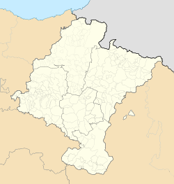
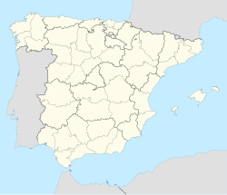
Lesaka is a town and municipality in the province and autonomous community of Navarre, in Spain. It is situated in the merindad of Iruña, in the region of Bortziriak (Five Villas) and to 75 km of the capital of the community, Iruña/Pamplona. The population in 2014 was of 2742 inhabitants.
The population centres in Lesaka are the following: Alkaiaga, Auzoberri, Biurrana, Kaztazpegi, Endara, Endarlaza, Frain, Izotzaldea, Lesaka centre, Navaz, Otsango Auzoa, Zala, and Zalain.
References
[edit]- ^ Haritz ARRIETA: Lesaka: San Fermin 2010 zubigainekoa. Video, YouTube. length: 2' 10''.
- ^ (in Spanish)Alicia DEL CASTILLO: «Zubigainekoa bajo el sol»,(The Zubigaineko dance under the sun) Diario Vasco, 2010-07-08.
- ^ Municipal Register of Spain 2018. National Statistics Institute.


