Tall Asur
Appearance
It has been suggested that Baal-hazor be merged into this article. (Discuss) Proposed since July 2014. |
| Tall Asur | |
|---|---|
| File:Dayr Jarir-87122.jpg In December 2013 | |
| Highest point | |
| Elevation | 1,016 m (3,333 ft) |
| Geography | |
| Region | PS |
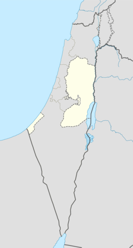
Tall Asur (in Arabic, Hebrew: הר בעל חצור Baal-Hazor) is a hill and one of the highest points of the Judaean Mountains in the West Bank, with an altitude of 1,016 metres (3,333 ft). It is thought to be the site where Abraham was shown the land and Lot chose to go to Sodom. It has two peaks, one of them is an Israeli military base.
See also
- Abraham and Lot's conflict
- Geography of the Palestinian territories
- Geography of the West Bank
- Mount Nabi Yunis, the highest point of the Palestinian territories
Sources
- Tall Asur - Peakbagger.com. Retrieved on 2011-02-04.

