Çaylaqqala
Appearance
Çaylaqqala
Խծաբերդ • Khtsaberd | |
|---|---|
| File:Khtsaberd, Nagorno-Karabakh.jpeg | |
| Coordinates: 39°32′45″N 46°46′15″E / 39.54583°N 46.77083°E | |
| Country | |
| District | Khojavend (de jure) |
| Province | Hadrut (de facto) |
| Elevation | 1,623 m (5,325 ft) |
| Population (2005) | |
| • Total | 143 |
| Time zone | UTC+4 (AZT) |
| • Summer (DST) | UTC+5 (AZT) |
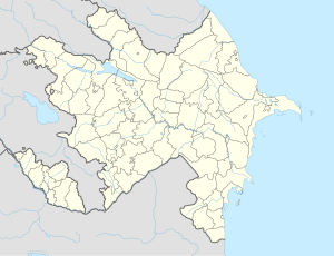
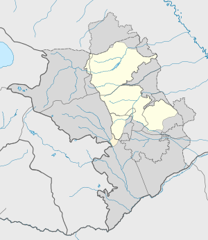
Çaylaqqala (Chaylaggala) or Khtsaberd (Armenian: Խծաբերդ) is a village de jure in the Khojavend District of Azerbaijan, de facto in the Hadrut Province of the self-proclaimed Republic of Artsakh. The village has an ethnic Armenian-majority population, and also had an Armenian majority in 1989.[1]
History
The village was captured by Armenian forces during the First Nagorno-Karabakh War. Khtsaberd, Hin Tagher and Katarovank has been an Artsakh holdout in the Hadrut Province during the 2020 Nagorno-Karabakh war.[2] However, after clashes in the area following the ceasefire, the village came under Azerbaijani control and following days, the Russian peacekeeper map published on December 14, showed the villages under Azerbaijani controlled area.[3]
References
- ^ Андрей Зубов. "Андрей Зубов. Карабах: Мир и Война". drugoivzgliad.com.
- ^ CIVILNET - A Piece of Hadrut Remains Armenian
- ^ Инфографика : Министерство обороны Российской Федерации


