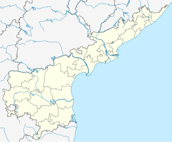
Brahmasamudram
Appearance
Brahmasamudram | |
|---|---|
Village | |
 Dynamic map | |
| Coordinates: 14°33′17″N 76°56′47″E / 14.55472°N 76.94639°E | |
| Country | |
| State | Andhra Pradesh |
| District | Anantapur |
| Talukas | Brahmasamudram |
| Population | |
• Total | 39,518 |
| Languages | |
| • Official | Telugu |
| Time zone | UTC+5:30 (IST) |
| Vehicle registration | AP |
Brahmasamudram is a village in Anantapur district of the Indian state of Andhra Pradesh. It is the headquarters of Brahmasamudram mandal in Kalyandurg revenue division.[1][2]
Demographics
According to Indian census, 2001, the demographic details of Brahmasamudram mandal is as follows:
- Total Population: 39,518 in 7,438 Households.
- Male Population: 20,120 and Female Population: 19,398
- Children Under 6-years of age: 6,134 (Boys - 3,113 and Girls - 3,021)
- Total Literates: 15,164
References
- ^ "List of Sub-Districts". Census of India.
- ^ "Anantapur District Mandals" (PDF). Census of India. p. 385. Retrieved 6 June 2017.


