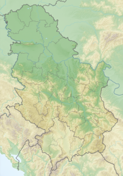
Javor (Serbia)
Appearance
| Javor Јавор | |
|---|---|
 Slopes of Javor mountain | |
| Highest point | |
| Elevation | 1,519 m (4,984 ft)[1] |
| Coordinates | 43°26′29″N 20°03′16″E / 43.44139°N 20.05444°E |
| Geography | |
| Location | Western Serbia |
| Climbing | |
| Easiest route | Hike from Kušići |
Javor[2] (Serbian Cyrillic: Јавор, pronounced [jâʋɔr]) is a mountain in southwestern Serbia, between towns of Sjenica and Ivanjica. Its highest peak, Vasilin vrh, has an elevation of 1,519 meters above sea level.
See also
References
- ^ Jovan Đokić. "Katalog planina Srbije". PSD Kopaonik Beograd. Archived from the original on 2011-05-18.
- ^ "Планина Јавор - Туристички адресар". Turistički adresar.
External links
Wikimedia Commons has media related to Javor.


