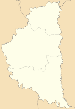
Khartonivtsi
Appearance
Khartonivtsi
Хартонівці | |
|---|---|
| Coordinates: 48°45′48″N 25°44′58″E / 48.76333°N 25.74944°E | |
| Country | |
| Oblast | Ternopil Oblast |
| Raion | Chortkiv Raion |
| Hromada | Zalishchyky urban hromada |
| Time zone | UTC+2 (EET) |
| • Summer (DST) | UTC+3 (EEST) |
| Postal code | 48605 |
Khartonivtsi (Ukrainian: Хартонівці) is a village in Zalishchyky urban hromada, Chortkiv Raion, Ternopil Oblast, Ukraine.[1]
History
It was first mentioned in writings in 1493.[2]
After the liquidation of the Zalishchyky Raion on 19 July 2020, the village became part of the Chortkiv Raion.[3]
Religion
- Church of the Beheading of John the Baptist (19th century, brick).[2]
References
- ^ Заліщицька територіальна громада, Децентралізація
- ^ a b (in Ukrainian) Безгубенко О., Ковальков Ю., Коропецька У., Олійник В., Хартонівці // Ternopil region. History of cities and villages: in 3 v. / Ternopil: "Terno-graph", 2014, V. 2: Г—Л, S. 213. — ISBN 978-966-457-228-3.
- ^ Постанова Верховної Ради України від 17 липня 2020 року № 807-IX "Про утворення та ліквідацію районів"
Sources
- (in Ukrainian) Ковальков Ю., Олійник В., Хартонівці // Ternopil Encyclopedic Dictionary: in 4 v. / editorial board: H. Yavorskyi and other, Ternopil: "Zbruch", 2008, V. 3: П—Я, S. 543. — ISBN 978-966-528-279-2.
- "Chartanowce". Geographical Dictionary of the Kingdom of Poland (in Polish). 1. Warszawa: Kasa im. Józefa Mianowskiego. 1880. p. 548.

