Pescantina
Appearance
Pescantina | |
|---|---|
| Comune di Pescantina | |
 | |
| Coordinates: 45°29′N 10°52′E / 45.483°N 10.867°E | |
| Country | Italy |
| Region | Veneto |
| Province | Province of Verona (VR) |
| Frazioni | Settimo, Balconi, Arcè, Ospedaletto, Santa Lucia |
| Area | |
• Total | 19.7 km2 (7.6 sq mi) |
| Elevation | 80 m (260 ft) |
| Population (Dec. 2004)[2] | |
• Total | 14,096 |
| • Density | 720/km2 (1,900/sq mi) |
| Demonym | Pescantinesi |
| Time zone | UTC+1 (CET) |
| • Summer (DST) | UTC+2 (CEST) |
| Postal code | 37026 |
| Dialing code | 045 |
| Website | Official website |
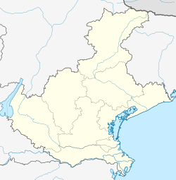
Pescantina is a comune (municipality) in the Province of Verona in the Italian region Veneto, located about 110 kilometres (68 mi) west of Venice and about 11 kilometres (7 mi) northwest of Verona. As of 31 December 2004, it had a population of 14,096 and an area of 19.7 square kilometres (7.6 sq mi).[3]
The municipality of Pescantina contains the frazioni (subdivisions, mainly villages and hamlets) Settimo, Balconi, Arcè, Ospedaletto, and Santa Lucia.
Pescantina borders the following municipalities: Bussolengo, Pastrengo, San Pietro in Cariano, Sant'Ambrogio di Valpolicella, and Verona.
Demographic evolution

Twin towns
Pescantina is twinned with:
 Siedlce, Poland, since 1993
References
- ^ "Superficie di Comuni Province e Regioni italiane al 9 ottobre 2011". Italian National Institute of Statistics. Retrieved 16 March 2019.
- ^ "Popolazione Residente al 1° Gennaio 2018". Italian National Institute of Statistics. Retrieved 16 March 2019.
- ^ All demographics and other statistics: Italian statistical institute Istat.
External links


