Road signs in Nepal
Appearance
Following international norms, road signs in Nepal are controlled by the Nepali Department of Roads and are heavily influenced by those used in the United Kingdom. [1] [2]
Nepal drives on the left.

Regulatory signs
-
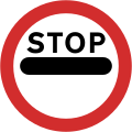
A1: Stop and give way
-
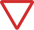
A2: Give way
-
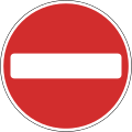
A3: No entry
-
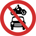
A4: No motor vehicles
-
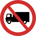
A5: No trucks
-
A6: No handcarts
-
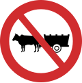
A7: No bullock carts
-
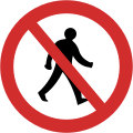
A8: No pedestrians
-
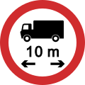
A9: No vehicles over length shown
-
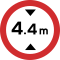
A10: No vehicles over height shown
-
A11: No vehicles over width shown
-
A12: No vehicles over maximum gross weight shown
-
A13: Axle weight limit
-
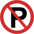
A14: No parking
-
A15: No stopping
-
A16: No overtaking
-
A17: No passing without stopping
-
A18: No right turn
-
A19: No left turn
-
A20: No U turns
-
A21: No use of horn
-
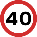
A22: Maximum speed
-
A23: End of speed restriction
-
A24: Temporary stop sign
-
A25: Temporary go sign
-
A26: Restriction ends
-
A27: Go straight ahead only
-
A28: Turn left
-
A28: Turn right
-
A29: Keep left
-
A29: Keep right
-
A30: Turn left ahead
-
A30: Turn right ahead
-
A31: Mini roundabout
-
A32: Pass either side
-
A33: One way traffic
Warning signs
-
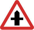
B1: Crossroads with a minor ahead
-
B2: Crossroad with a major road ahead
-
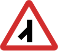
B3: Side road on the left ahead
-
B3: Side road on the right ahead
-
B4: Staggered junction ahead
-
B4: Staggered junction ahead
-
B5: T-junction ahead
-
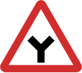
B6: Y-junction ahead
-
B7: Traffic merges from left
-
B8: Traffic merges from right
-
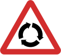
B9: Roundabout ahead
-
B10: Sharp curve to the left ahead
-
B10: Sharp curve to the right ahead
-
B11: Hairpin curve to the left ahead
-
B11: Hairpin curve to the right ahead
-
B12: Double curve ahead first to the left
-
B12: Double curve ahead first to the right
-
B13: Sharp bend to the left
-
B13: Sharp bend to the right
-
B13: Sharp bend to the left
-
B13: Sharp bend to the right
-
B14: Road narrows on both sides
-
B15: Road narrows on left sides
-
B15: Road narrows on right sides
-
B16: Dual carriageway ends ahead
-
B17: Traffic signals ahead
-
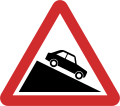
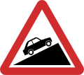
B18: Steep hill downwards
-
B19: Steep hill upwards
-
B20: Height limit ahead
-
B21: Two-way traffic straight ahead
-
B22: Two-way traffic crosses one way road
-
B23: Pedestrian crossing ahead
-
B24: Pedestrians in road ahead
-
B25: Children ahead
-
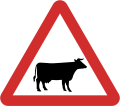
B26: Cattle ahead
-
B27: Deer ahead
-
B28: Unprotected quayside or riverbank ahead
-
B29: Uneven road
-
B30: Slippery road surface ahead
-
B31: Road hump
-
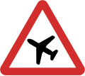
B32: Low-flying aircraft ahead
-
B33: Falling rocks
-
B33: Falling rocks
-
B34: Dangerous dip
-
B35: Narrow bridge ahead
-
B36: Other danger ahead
-
B37: Checkpoint ahead
-
B38: Roadworks ahead
-
B39: Loose chippings
-
B40: Railway level crossing ahead without gate or barrier
-
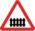
B41: Railway level crossing ahead with gate or barrier
-
B42: Diversion ahead
-
B43: Dangerous obstruction (Verges)
-
B43: Dangerous obstruction (verges)
-
B44: Dangerous obstruction (Central reservation)
-
B45: T Junction
-
B46: Sharp bend
-
B46: Sharp bend
-
B47: Diversion
-
B47: Diversion
Information signs
-
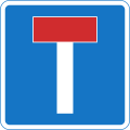
C1: No through road
-
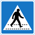
C2: Pedestrian crossing
-
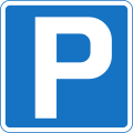
C3: Parking place
-
C4: Overtaking section
-
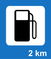
C5: Filling station
-
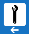
C6: Breakdown service
-
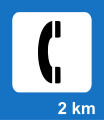
C7: Telephone
-
C8: Overnight accommodation
-
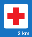
C9: First-aid post
-
C10: Hospital
-
C11: Refreshments
-
C12: Restaurant
-
C13: Picnic Site
-
C14: Recommended route for pedestrians and cyclists
-
C15: Recommended route for pedestrians
-
C16: Recommended route for cyclists
-
C17: Bus Stop
-
C18: Taxi Rank
-
C19: One way traffic
-
C19: One way traffic
-
C20: Beginning of City Limit
-
C21: End of City Limit
-
C22: Advance directional for roundabouts (main roads)
-
C23: Reassurance directional (main roads)
-
C24: Advance directional (main roads)
-
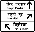
C25: Intersection directional (main roads)
-
C26: Intersection directional (temporary)
-
C27: Intersection directional
-
C28: Advance directional
-
C29: Bridge name
Additional signs
-
D1: Distance warning
-
D12: Ice
-
D17: Cars
-
D18: Trucks
-
D19: Buses
-
D25: End
-
D26: End of Restriction

