Cellarengo
Aspetto
| Cellarengo comune tagliàne | |||
|---|---|---|---|
| |||
| State | |||
| Reggione | |||
| Provinge | Asti | ||
| Coordinate | 44°51′55″N 7°56′47″E | ||
| Altitudine | 321 m s.l.m. | ||
| Superficie | 10,81 km² | ||
| Crestiàne | 677 (31-05-2007 (fonte Istat)) | ||
| Denzetà | 63 cr./km² | ||
| Comune 'nzeccate | Isolabella (TO), Montà (CN), Poirino (TO), Pralormo (TO), Valfenera | ||
| CAP | 14010 | ||
| Prefisse | 0141 | ||
| Codece ISTAT | 005033 | ||
| Cod. catastale | C438 | ||
| Nome javetande | cellarenghesi | ||
| Patrone | San Firmino | ||
| Sciurne festive | 9 ottobre | ||
| Site istituzionale | |||
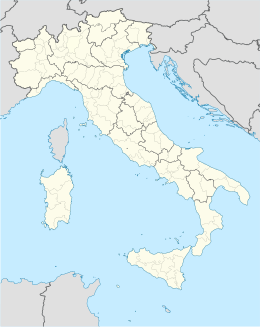
Cellarengo éte 'nu comune tagliáne de 675 crestiáne.
Categorije:
- Pagine con argomenti di formatnum non numerici
- Stub
- P625 uguale sus Uicchidate
- Prefisso telefonico locale uguale a Wikidata
- Codice ISTAT uguale a Wikidata
- P41 assende sus Uicchidate
- P94 assende sus Uicchidate
- P281 uguale sus Uicchidate
- P806 uguale sus Uicchidate
- P856 uguale sus Uicchidate
- P2044 uguale sus Uicchidate
- P2046 differende sus Uicchidate
- Comune d'u Piemonte
- Comune d'a provinge de Asti
- Pàggene cu le mappe

