You can help expand this article with text translated from the corresponding article in Italian. (January 2022) Click [show] for important translation instructions.
|
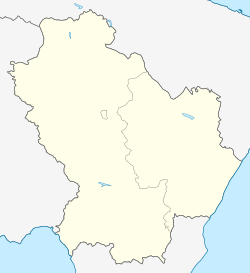
Atella (Lucano: Ratèdde) is a town and comune in the province of Potenza, in the Southern Italian region of Basilicata.
Atella | |
|---|---|
| Comune di Atella | |
 Torre degli Embrici, an archaeological site in Atella | |
| Coordinates: 40°52′N 15°39′E / 40.867°N 15.650°E | |
| Country | Italy |
| Region | Basilicata |
| Province | Potenza (PZ) |
| Frazioni | Montesirico, Monticchio Laghi, Sant'Andrea, Sant'Ilario |
| Government | |
| • Mayor | Gerardo Lucio Petruzzelli |
| Area | |
| • Total | 88.48 km2 (34.16 sq mi) |
| Elevation | 500 m (1,600 ft) |
| Population (30 April 2017)[2] | |
| • Total | 3,841 |
| • Density | 43/km2 (110/sq mi) |
| Demonym | Atellani |
| Time zone | UTC+1 (CET) |
| • Summer (DST) | UTC+2 (CEST) |
| Postal code | 85020 |
| Dialing code | 0972 |
| Website | Official website |
It is bounded by the comuni of Avigliano, Bella, Calitri, Filiano, Rionero in Vulture, Ripacandida, Ruvo del Monte and San Fele.
See also
editReferences
edit- ^ "Superficie di Comuni Province e Regioni italiane al 9 ottobre 2011". Italian National Institute of Statistics. Retrieved 16 March 2019.
- ^ "Popolazione Residente al 1° Gennaio 2018". Italian National Institute of Statistics. Retrieved 16 March 2019.
External links
editMedia related to Atella at Wikimedia Commons
- Official website (in Italian)
- AltrAtella website (in Italian)


