Lake Kegonsa State Park
This is the current revision of this page, as edited by Ser Amantio di Nicolao (talk | contribs) at 05:46, 2 August 2023 (→top: add "use mdy dates" template). The present address (URL) is a permanent link to this version.
| Lake Kegonsa State Park | |
|---|---|
 Lake Kegonsa from Lake Kegonsa State Park | |
| Location | Dane, Wisconsin, United States |
| Coordinates | 42°58′35″N 89°13′55″W / 42.97639°N 89.23194°W / 42.97639; -89.23194 |
| Area | 343 acres (139 ha) |
| Established | 1962 |
| Governing body | Wisconsin Department of Natural Resources |
| Lake Kegonsa | |
|---|---|
| Coordinates | 42°58′N 89°15′W / 42.967°N 89.250°W / 42.967; -89.250 |
| Basin countries | United States |
| Surface area | 3,209 acres (1,299 ha) |
| Max. depth | 30 ft (9.1 m) |
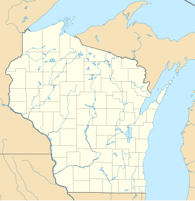
Lake Kegonsa State Park is a state park of Wisconsin, United States, on the northeast shore of Lake Kegonsa. It is located in Dane County southeast of Madison, Wisconsin. The park consists of forest, prairie, and wetlands. Known for its campground, beach, and approximately 5 miles (8.0 km) of hiking trails, the park offers swimming, fishing, water-skiing, sailing, and a boat landing.
Lake Kegonsa itself covers 3,209 acres (12.99 km2) and is more than 30 feet (9 m) deep. It was created by a glacier during the last ice age approximately 12,000 years ago.[1]
See also
[edit]References
[edit]- ^ "Lake Kegonsa State Park". Wisconsin Department of Natural Resources. May 16, 2012. Retrieved June 3, 2012.
External links
[edit]- Pages using gadget WikiMiniAtlas
- Articles with short description
- Short description matches Wikidata
- Use mdy dates from August 2023
- Coordinates on Wikidata
- Articles using infobox body of water without image
- Articles using infobox body of water without pushpin map alt
- Articles using infobox body of water without image bathymetry


