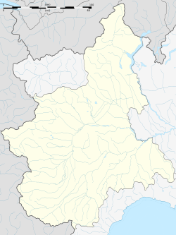
Ingria, Piedmont
Appearance
Ingria | |
|---|---|
| Comune di Ingria | |
 | |
| Coordinates: 45°28′N 7°34′E / 45.467°N 7.567°E | |
| Country | Italy |
| Region | Piedmont |
| Metropolitan city | Turin (TO) |
| Frazioni | Albaretto, Albera, Arcavut, Bech, Beirasso, Belvedere, Bettassa, Borgognone, Camprovardo, Cavagnole, Ciuccia, Fenoglia, Ghiaire, Mombianco, Monteu, Querio, Reverso, Rivoira, Salsa, Villanuova, Viretto |
| Government | |
| • Mayor | Igor De Santis |
| Area | |
• Total | 14.75 km2 (5.70 sq mi) |
| Population | |
• Total | 47 |
| • Density | 3.2/km2 (8.3/sq mi) |
| Demonym | Ingriese(i) |
| Time zone | UTC+1 (CET) |
| • Summer (DST) | UTC+2 (CEST) |
| Postal code | 10080 |
| Dialing code | 0124 |
Ingria is a comune (municipality) in the Metropolitan City of Turin in the Italian region Piedmont, located about 45 kilometres (28 mi) north of Turin in the Valle Soana.
Ingria borders the following municipalities: Ronco Canavese, Traversella, Frassinetto, Pont Canavese, and Sparone. It is one of I Borghi più belli d'Italia ("The most beautiful villages of Italy").[4]
References
[edit]- ^ "Superficie di Comuni Province e Regioni italiane al 9 ottobre 2011". Italian National Institute of Statistics. Retrieved 16 March 2019.
- ^ All demographics and other statistics: Italian statistical institute Istat.
- ^ "Popolazione Residente al 1° Gennaio 2018". Italian National Institute of Statistics. Retrieved 16 March 2019.
- ^ "Piemonte" (in Italian). Retrieved 31 July 2023.


