Ghozgarhy
Appearance
Ghozgarhy | |
|---|---|
| Coordinates: 33°47′N 70°00′E / 33.783°N 70.000°E | |
| Country | |
| Region | |
| District | Kurram Agency |
| Tehsil | Upper Kurram |
| Population | |
| • Total | 7,349 |
| Time zone | UTC+5 (PST) |
| • Summer (DST) | UTC+6 (PDT) |
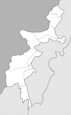
Ghozgarhy, or Ghoz Ghari, is an area of Upper Kurram, Kurram Agency, Federally Administered Tribal Areas, Pakistan. The population is 7,349 according to the 2017 census.[1]
Ghozgarhy is located near the border of Pakistan with Paktia, Afghanistan.[2]
History
[edit]In November 2017, a US drone strike was carried out on a house in Ghozgarhy. This action was condemned by the Foreign Office.[3] Four people were killed in this strike.[4]
References
[edit]- ^ a b "POPULATION AND HOUSEHOLD DETAIL FROM BLOCK TO DISTRICT LEVEL: FATA (KURRAM AGENCY)" (PDF). www.pbscensus.gov.pk. 2018-01-03. Archived from the original (PDF) on 2018-11-23. Retrieved 2018-04-01.
- ^ "Four killed in US drone attack in Kurram Agency along Pak-Afghan border". The Frontier Post. Pakistan. 2017-09-15. Retrieved 2018-04-01.
- ^ "Pakistan protests US drone attack in Upper Kurram Agency". 92 News. Lahore, Pakistan. 2017-11-30. Archived from the original on 2018-02-04. Retrieved 2018-04-01.
- ^ Mahsud, Saud (2017-11-30). "Suspected U.S. drone targets Haqqani militants in Pakistan, killing four". Reuters. London, UK: Thomson Reuters. Retrieved 2018-04-01.


