Ghemme
Appearance
This article relies largely or entirely on a single source. (September 2015) |
Ghemme | |
|---|---|
| Comune di Ghemme | |
 | |
| Coordinates: 45°36′N 8°25′E / 45.600°N 8.417°E | |
| Country | Italy |
| Region | Piedmont |
| Province | Novara (NO) |
| Frazioni | Strona |
| Government | |
| • Mayor | Davide Temporelli |
| Area | |
• Total | 20.57 km2 (7.94 sq mi) |
| Elevation | 241 m (791 ft) |
| Population (2007)[2] | |
• Total | 3,668 |
| • Density | 180/km2 (460/sq mi) |
| Demonym | Ghemmesi |
| Time zone | UTC+1 (CET) |
| • Summer (DST) | UTC+2 (CEST) |
| Postal code | 28074 |
| Dialing code | 0163 |
| Patron saint | Blessed Panacea |
| Saint day | First Friday of May |
| Website | Official website |

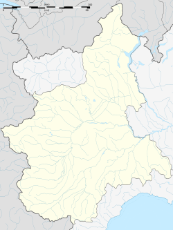
Ghemme is a comune (municipality) in the Province of Novara in the Italian region Piedmont, located on the river Sesia about 80 kilometres (50 mi) northeast of Turin and about 25 kilometres (16 mi) northwest of Novara.
It is the birthplace of architect Alessandro Antonelli and the town of origin of Blessed Panacea De' Muzzi. The main attraction is the castle (Castello-ricetto), built in the 11th to 15th centuries.
Ghemme is notable for its red wine.
References
[edit]- ^ "Superficie di Comuni Province e Regioni italiane al 9 ottobre 2011". Italian National Institute of Statistics. Retrieved 16 March 2019.
- ^ "Popolazione Residente al 1° Gennaio 2018". Italian National Institute of Statistics. Retrieved 16 March 2019.
Wikimedia Commons has media related to Ghemme.
External links
[edit]


