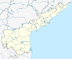
Yellanur
Appearance
Yellanur | |
|---|---|
village | |
 Dynamic map | |
| Coordinates: 14°42′N 78°05′E / 14.70°N 78.08°E | |
| Country | |
| State | Andhra Pradesh |
| District | Anantapur |
| Talukas | Yellanur |
| Languages | |
| • Official | Telugu |
| Time zone | UTC+5:30 (IST) |
| Telephone code | 08550 |
Yellanur is a village in Anantapur district of the Indian state of Andhra Pradesh. It is the mandal headquarters of Yellanur mandal in Anantapur revenue division.[1] It is located 75.4 km distance from its district main city Anantapur and 420 km distance from state's capital Amaravati.[2]
Geography
[edit]Chitravathi river flows across the village. The soil is black. The main crops are oranges, paddy, ground nut, cotton, red gram, chickpea, sunflower seeds, and jowar.
References
[edit]- ^ "Anantapur District Mandals" (PDF). Census of India. p. 392. Retrieved 6 June 2017.
- ^ "YELLANUR-Intermediate Panchayat – National Panchayat Portal – Govt. of India". www.anayellanbp.appr.gov.in. Retrieved 2 February 2016.


