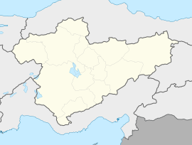
Sandal, İmranlı
Appearance
Sandal | |
|---|---|
| Coordinates: 39°47′42″N 38°01′05″E / 39.795°N 38.018°E | |
| Country | Turkey |
| Province | Sivas |
| District | İmranlı |
| Population (2023) | 33 |
| Time zone | UTC+3 (TRT) |
Sandal is a village in the İmranlı District of Sivas Province in Turkey.[1] It is populated by Kurds and had a population of 33 in 2023.[2][3]
Geography
[edit]The village is 148 km from the Sivas provincial center and 24 km from the İmranlı district center.[4]
References
[edit]- ^ "Türkiye Mülki İdare Bölümleri Envanteri". T.C. İçişleri Bakanlığı (in Turkish). Retrieved 25 June 2024.
- ^ "Address Based Population Registration System Results". Türkiye İstatistik Kurumu (in Turkish). Retrieved 25 June 2024.
- ^ Peter Alfred, Andrews; Benninghaus, Rüdiger, eds. (1989). Ethnic Groups in the Republic of Turkey. p. 347.
- ^ "[YerelNET] SANDAL KÖYÜ". 5 March 2016. Archived from the original on 5 March 2016. Retrieved 25 June 2024.


