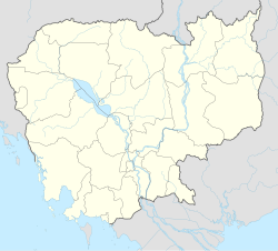
Kakaoh
Appearance
Kakaoh
ឃុំកកោះ | |
|---|---|
| Coordinates: 12°50′25″N 103°23′56″E / 12.8402°N 103.399°E | |
| Country | |
| Province | Battambang Province |
| District | Moung Ruessei District |
| Villages | 8 |
| Time zone | UTC+07 |
| Geocode | 020607 |
Kakaoh (Khmer: ឃុំកកោះ) is a khum (commune) of Moung Ruessei District in Battambang Province in north-western Cambodia.[1][2]
Villages
[edit]Source:[3]
- Tuol Prum Muoy
- Tuol Prum Pir
- Chak Touch
- Chak Thum
- Kakaoh
- Srae Ou
- Ph'ieng
- Rumchek
References
[edit]- ^ "Statistics of the Cambodian Government". Archived from the original on 2008-12-24.
- ^ "phumi-tuol-kakaoh". Gomapper. Retrieved 13 February 2014.
- ^ "Cambodia Gazetteer Database Online". National Committee for Sub-National Democratic Development. Retrieved 15 May 2020.


