Chirk Bank
Appearance
| Chirk Bank | |
|---|---|
 Llangollen Canal at Chirk Bank | |
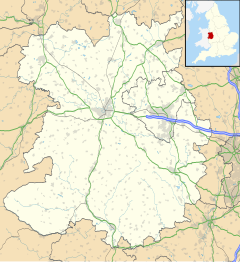
Location within Shropshire | |
| OS grid reference | SJ290369 |
| Civil parish | |
| Unitary authority | |
| Ceremonial county | |
| Region | |
| Country | England |
| Sovereign state | United Kingdom |
| Post town | WREXHAM |
| Postcode district | LL14 |
| Dialling code | 01691 |
| Police | West Mercia |
| Fire | Shropshire |
| Ambulance | West Midlands |
| UK Parliament | |
Chirk Bank is a small village in Shropshire, England.
The industrial town of Chirk is to the north, over the border in Wales, with the B5070 road connecting the two settlements via a bridge (Chirk Bridge) over the River Ceiriog. The larger village of Weston Rhyn is to the south-west and Chirk Bank is part of its civil parish. The hamlet of Gledrid (Welsh: Y Galedryd) is just outside Chirk Bank, near to the A5 road and on the border (the B5070) with the parish of St Martin's.
The Llangollen Canal passes by the village. There are three public houses in the vicinity: The Bridge,[1] the Lord Moreton, and the Poachers Pocket.[2]
References
[edit]- ^ "Pubs in Chirk". Archived from the original on 26 July 2008.
- ^ "Pubs in Gledrid". Archived from the original on 19 February 2008.

