Candes-Saint-Martin
Candes-Saint-Martin | |
|---|---|
 View over the Loire | |
| Coordinates: 47°12′42″N 0°04′27″E / 47.2117°N 0.0742°E | |
| Country | France |
| Region | Centre-Val de Loire |
| Department | Indre-et-Loire |
| Arrondissement | Chinon |
| Canton | Chinon |
| Government | |
| • Mayor (2020–2026) | Stéphan Pinaud[1] |
Area 1 | 5.77 km2 (2.23 sq mi) |
| Population (2022)[2] | 182 |
| • Density | 32/km2 (82/sq mi) |
| Time zone | UTC+01:00 (CET) |
| • Summer (DST) | UTC+02:00 (CEST) |
| INSEE/Postal code | 37042 /37500 |
| Elevation | 27–101 m (89–331 ft) |
| 1 French Land Register data, which excludes lakes, ponds, glaciers > 1 km2 (0.386 sq mi or 247 acres) and river estuaries. | |
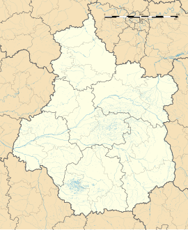
Candes-Saint-Martin (French pronunciation: [kɑ̃d sɛ̃ maʁtɛ̃] ⓘ) is a commune in the Indre-et-Loire department, central France. It overlooks the confluence of the Vienne and Loire rivers from a steep hill on the left bank of the Loire, and marks the boundary between the modern departments of Indre-et-Loire to the east, and Maine-et-Loire to the west. It is a member of Les Plus Beaux Villages de France (The Most Beautiful Villages of France) Association.
Name
[edit]
The name Candes is thought to derive from a Gallic word for confluence, and is found in several other similarly sited towns in the region; the termination Saint-Martin was formally added in 1949, although it had been in common usage for many years. Evidence of Gallo-Roman occupation was found in 19th century excavations, particularly in the grounds of the Bishop's Palace which crowns the hill.
The village takes its name - and its main claim to fame- from the magnificent church which has succeeded the 4th century monastery where St Martin, Bishop of Tours and 'Apostle to the Gauls', died in 397.
Population
[edit]| Year | Pop. | ±% p.a. |
|---|---|---|
| 1968 | 264 | — |
| 1975 | 269 | +0.27% |
| 1982 | 268 | −0.05% |
| 1990 | 244 | −1.17% |
| 1999 | 227 | −0.80% |
| 2007 | 222 | −0.28% |
| 2012 | 226 | +0.36% |
| 2017 | 199 | −2.51% |
| Source: INSEE[3] | ||
See also
[edit]References
[edit]- ^ "Répertoire national des élus: les maires". data.gouv.fr, Plateforme ouverte des données publiques françaises (in French). 2 December 2020.
- ^ "Populations de référence 2022" (in French). The National Institute of Statistics and Economic Studies. 19 December 2024.
- ^ Population en historique depuis 1968, INSEE


