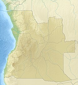
Luacano
Appearance
Luacano | |
|---|---|
| Coordinates: 11°13′S 21°39′E / 11.217°S 21.650°E | |
| Country | Angola |
| Province | Moxico |
| Population (2014) | |
| • Total | 20,755 |
Luacano is a town and municipality in Moxico Province, Angola. The municipality had a population of 20,755 in 2014.[1]
The Luacano River (Rio Luacano) flows past the town to the west before entering the Kasai River, which forms the border between Moxico and Luanda Sul.[2] During negotiations over the border between the Belgian Congo and Portuguese Angola the Belgians pushed for making the Luacano River part of the border.[3]
Transport
[edit]In 2012, a long-awaited short cut between the Angola's Benguela Railway and the Zambian copper mines is being built. The short cut leaves the mainline east of Luacano.
See also
[edit]References
[edit]- ^ "Resultados Definitivos Recenseamento Geral da População e Habitação – 2014 Província do Moxico" (PDF). Instituto Nacional de Estatística, República de Angola. Retrieved 3 May 2020.
- ^ "Node: Luacano (1718720844)", OpenStreetMap, retrieved 2021-09-26
- ^ The Geographer (1972), "Angola-Zaire Boundary", International Boundary Study, US Department of State, p. 144.6, retrieved 2021-04-04

