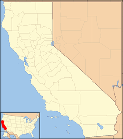
Ingomar, California
Ingomar | |
|---|---|
| Coordinates: 37°10′49″N 120°58′06″W / 37.18028°N 120.96833°W | |
| Country | United States |
| State | California |
| County | Merced County |
| Elevation | 92 ft (28 m) |
Ingomar was an unincorporated community in Merced County, California.[1] It was located on the Southern Pacific Railroad 10.5 miles (17 km) northwest of Los Banos,[2] at an elevation of 92 feet (28 m).[1]
A post office operated at Ingomar from 1890 to 1921.[2] The name was probably from the 1842 German play Ingomar, the Barbarian by Baron Eligius Franz Joseph von Münch-Bellinghausen, a popular work in the dramatic canon in the late 19th century.[2]
A school was established at Ingomar in 1884, and the town was surveyed when the railroad was built through the area in 1889. The economy was centered on farming and dairying; in the early 1910s there was a school, blacksmith shop, general store, cream-shipping depot, and housing facility for railroad work crews. The town declined due to the closure of the post office and fouling of the water; only foundations remained as of 2009.[3]
References
[edit]- ^ a b c U.S. Geological Survey Geographic Names Information System: Ingomar, California
- ^ a b c Durham, David L. (1998). California's Geographic Names: A Gazetteer of Historic and Modern Names of the State. Clovis, Calif.: Word Dancer Press. p. 786. ISBN 1-884995-14-4.
- ^ Snoke, Pat (February 26, 2009). "The ghost town of Ingomar". The Gustine Press-Standard. Gustine, CA. Retrieved December 3, 2023.


