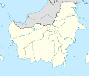
Melawi River
| Melawi River Sungai Melawi, Sungai Melawasi, Sungai Batang Lawai, Belitang Lawai | |
|---|---|
 | |
| Location | |
| Country | Indonesia |
| Province | West Kalimantan |
| Physical characteristics | |
| Source | Nokan Nayan waterfall, Ambalau, |
| • location | Sintang Regency |
| Mouth | Kapuas River |
• location | Sintang |
Melawi River is a river in north-western Borneo, Indonesia, about 900 km northeast of the capital Jakarta.[1][2] It is a tributary of the Kapuas River.
The people in the upper reaches of the Melawi speak Ot Danum and elsewhere along the river speak variants of the Malay language and the river banks are inhabited by the Malay and Dayak ethnic groups.[3] A major town on the river is Nanga Pinoh, the capital of Melawi Regency.
Hydrology
[edit]The river meets the Kapuas in the town of Sintang.[4]
Geography
[edit]
The river flows in the western area of Borneo with a predominantly tropical rainforest climate (designated as Af in the Köppen-Geiger climate classification).[5] The annual average temperature in the area is 23 °C. The warmest month is May, when the average temperature is around 24 °C, and the coldest is February, at 22 °C.[6] The average annual rainfall is 4124 mm. The wettest month is November, with an average of 523 mm rainfall, and the driest is June, with 212 mm rainfall.[7]
See also
[edit]References
[edit]- ^ Rand McNally, The New International Atlas, 1993.
- ^ Sungai Melawi at Geonames.org (cc-by); Last updated 2013-06-04; Database dump downloaded 2015-11-27
- ^ Barnard, Timothy P. (2004). Contesting Malayness: Malay identity across boundaries. NUS Press. p. 177. ISBN 9971-69-279-1.
- ^ Wahidin (21 February 2018). "Pemkab Sintang Akan Bangun Waterfront City di Kawasan Saka Tiga, Ini Penjelasan Bupati Jarot". Tribun Pontianak (in Indonesian). Retrieved 10 August 2018.
- ^ Peel, M C; Finlayson, B L; McMahon, T A (2007). "Updated world map of the Köppen-Geiger climate classification". Hydrology and Earth System Sciences. 11 (5): 1633–1644. doi:10.5194/hess-11-1633-2007. Retrieved 30 January 2016.
- ^ "NASA Earth Observations Data Set Index". NASA. 30 January 2016.
- ^ "NASA Earth Observations: Rainfall (1 month - TRMM)". NASA/Tropical Rainfall Monitoring Mission. 30 January 2016.


