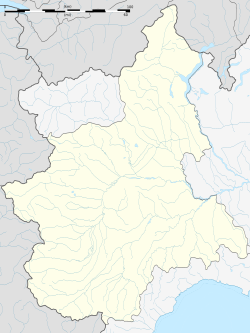
Bosia, Piedmont
Appearance
Bosia | |
|---|---|
| Comune di Bosia | |
 | |
| Coordinates: 44°36′N 8°9′E / 44.600°N 8.150°E | |
| Country | Italy |
| Region | Piedmont |
| Province | Province of Cuneo (CN) |
| Government | |
| • Mayor | Ettore Secco |
| Area | |
| • Total | 5.6 km2 (2.2 sq mi) |
| Elevation | 484 m (1,588 ft) |
| Population (30 November 2017)[2] | |
| • Total | 181 |
| • Density | 32/km2 (84/sq mi) |
| Demonym | Bosiesi |
| Time zone | UTC+1 (CET) |
| • Summer (DST) | UTC+2 (CEST) |
| Postal code | 12050 |
| Dialing code | 0173 |
Bosia is a comune (municipality) in the Province of Cuneo in the Italian region Piedmont, located about 60 kilometres (37 mi) southeast of Turin and about 50 kilometres (31 mi) northeast of Cuneo.
Bosia borders the following municipalities: Borgomale, Castino, Cortemilia, Cravanzana, Lequio Berria, and Torre Bormida.
History
[edit]The village of Bosia once stood in a different place. It was rebuilt on its current site - where a village called Rutte was - after a massive landslide on 8 April 1679 killed 200 inhabitants when the village suddenly sank.[3]
References
[edit]- ^ "Superficie di Comuni Province e Regioni italiane al 9 ottobre 2011". Italian National Institute of Statistics. Retrieved 16 March 2019.
- ^ All demographics and other statistics: Italian statistical institute Istat.
- ^ "Towns of the Langhe: BOSIA - Langhe.net". langhe.net. Retrieved 23 April 2018.


