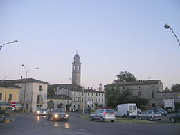
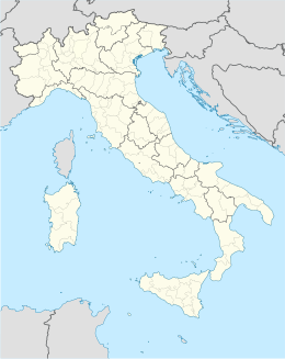
Fiorenzuola d'Arda
Aspetto
| Fiorenzuola d'Arda comune tagliàne | |||
|---|---|---|---|
 | |||
| |||
| State | |||
| Reggione | |||
| Provinge | Piacenze | ||
| Coordinate | 44°56′00″N 9°54′00″E | ||
| Altitudine | 80 m s.l.m. | ||
| Superficie | 59,74 km² | ||
| Crestiàne | 14 805 (31-12-2008) | ||
| Denzetà | 239,43 cr./km² | ||
| Fraziune | Baselica Duce, Paullo, San Protaso | ||
| Comune 'nzeccate | Alseno, Besenzone, Cadeo, Carpaneto Piacentino, Castell'Arquato, Cortemaggiore | ||
| CAP | 29017 | ||
| Prefisse | 0523 | ||
| Codece ISTAT | 033021 | ||
| Cod. catastale | D611 | ||
| Nome javetande | fiorenzuolani | ||
| Patrone | San Fiorenzo | ||
| Sciurne festive | 17 ottobre | ||
| Site istituzionale | |||
Fiorenzuola d'Arda éte 'nu comune tagliáne de 14.100 crestiáne.
Categorije:
- Pagine con argomenti di formatnum non numerici
- Stub
- P625 uguale sus Uicchidate
- Prefisso telefonico locale uguale a Wikidata
- Codice ISTAT uguale a Wikidata
- P41 assende sus Uicchidate
- P94 differende sus Uicchidate
- P281 uguale sus Uicchidate
- P806 uguale sus Uicchidate
- P856 uguale sus Uicchidate
- P2044 differende sus Uicchidate
- P2046 differende sus Uicchidate
- Comune de l'Emilie-Romagne
- Comune d'a provinge de Piacenze
- Pàggene cu le mappe

