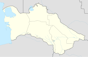
Gäwers, Turkmenistan
Appearance
Gäwers
Cyrillic Гяверс Pervomaysk Cyrillic Первомайск | |
|---|---|
Village | |
| Coordinates: 37°47′39″N 58°43′43″E / 37.79417°N 58.72861°E | |
| Country | |
| Region | Ahal Region |
| District | Ak bugdaý District |
| Rural Council | Gäwers geňeşligi |
| Time zone | UTC+5 |
Gäwers is a village in Ak bugdaý District, Ahal Region, in southern Turkmenistan.[1] It is the easternmost village of the traditional Ahal Teke tribal territory.[2]
Transportation
[edit]Gäwers is served by the M37 highway, the Trans-Caspian Railway, and a small agricultural airfield.
References
[edit]- ^ "OpenStreetMap / Districts in Turkmenistan".
- ^ Rawlinson, Sir Henry (1977). "Chapter 10, The Road to Merv". In Cumming, Sir Duncan (ed.). The Country of the Turkomans. London: Oguz Press and the Royal Geographical Society. ISBN 0 905820 01 0.

