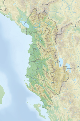
Guri i Capit
| Guri i Capit | |
|---|---|
 View of Guri i Capit | |
| Highest point | |
| Elevation | 1,547 m (5,075 ft) |
| Prominence | 26 m (85 ft) |
| Isolation | 330 m (1,080 ft) |
| Coordinates | 40°35′19″N 20°50′55″E / 40.588725°N 20.848619°E |
| Naming | |
| English translation | Goat Rock |
| Geography | |
| Country | |
| Region | Central Mountain Region |
| Municipality | Devoll |
| Parent range | Morava–Mali i Vashës |
| Geology | |
| Rock age | Miocene |
| Mountain type | peak |
| Rock type(s) | conglomerate, molasse |
Guri i Capit (lit. 'Billy Goat Stone') is a peak of the Morava mountain, located within the park of Bozdovec, in the municipality of Devoll, in southeastern Albania. The peak reaches a height of 1,547 m (5,075 ft) and has been designated a natural monument (cat. III).[1]
Etymology
[edit]Guri i Capit derives its name from a stone monument found in the park that measures approximately 20–25 m (66–82 ft) in length, 5–10 m (16–33 ft) in width, and roughly 10 m (33 ft) in height. Legend has it that the name was inspired by a goat that fell onto this stone. The word capit in the local dialect, referring to the standard "cjapit", is English for billy goat.[2]
Geology
[edit]The monument is predominantly composed of conglomerates and molasse of the Miocene period. Due to variations in erosion and wind effects, it has acquired a captivating shape, resembling a colossal sitting camel. As such, it carries significance in the fields of science, education, aesthetics, and tourism.[3]
See also
[edit]References
[edit]- ^ "Databazë e burimeve turistike në Qarkun Korçë" (PDF). turizmi.gov.al. Retrieved 20 May 2023.
- ^ Kabo, Mevlan (1991). Gjeografia Fizike e Shqipërisë (1.2 ed.). Tiranë: Qendra e Studimeve Gjeografike. p. 592.
- ^ Buda, Aleks (1985). Fjalori Enciklopedik Shqiptar. Tiranë: Akademia e Shkencave e RPSSH. p. 1248.

