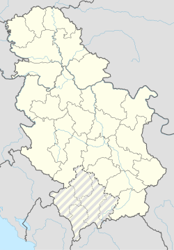
Mađer
Appearance
Mađer
Мађер | |
|---|---|
Village | |
| Coordinates: 43°56′42″N 20°02′14″E / 43.94507222°N 20.03716389°E | |
| Country | |
| District | Zlatibor District |
| Municipality | Požega |
| Area | |
| • Total | 4.5 km2 (1.7 sq mi) |
| Elevation | 1,038 [1] m (3,218.5 ft) |
| Population (2022) | |
| • Total | 77 |
| • Density | 17/km2 (44/sq mi) |
| Time zone | UTC+1 (CET) |
| • Summer (DST) | UTC+2 (CEST) |
Mađer is a village in the municipality of Požega, western Serbia. According to the 2022 census, the village has a population of 77 people.[2]
References
[edit]- ^ https://ba.geoview.info/mader,3267227 [bare URL]
- ^ Starost i pol: podaci po naseljima (in Serbian). Beograd: Republički zavod za statistiku. 2023. ISBN 978-86-6161-230-5.

