Monohansett Island
Appearance
| Geography | |
|---|---|
| Coordinates | 41°30′14″N 70°42′11″W / 41.504°N 70.703°W[1] |
| Archipelago | Elizabeth Islands |
| Total islands | 1 |
| Highest elevation | 7 ft (2.1 m) |
| Administration | |
United States | |
| State | Massachusetts |
| County | Dukes County |
| The Elizabeth Islands |
|---|
 |
| Major islands |
| Minor islands |
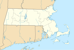
Monohansett Island is one of the Elizabeth Islands between Cedar Island and Naushon Island. It is located in Dukes County, Massachusetts, just east of Naushon Island and 2 miles (3.2 km) southwest of Woods Hole in the Town of Gosnold. The name is of Indian origin that goes back to the close of the seventeenth century.


