Nantithet
Appearance
| Nantithet | |
|---|---|
 Road bridge at Nantithet | |
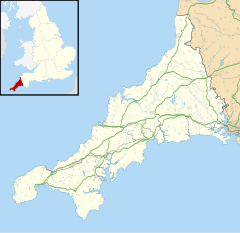
Location within Cornwall | |
| OS grid reference | SW682224 |
| Civil parish | |
| Unitary authority | |
| Ceremonial county | |
| Region | |
| Country | England |
| Sovereign state | United Kingdom |
Nantithet is a hamlet near Cury in west Cornwall, England.[1][2]
References
[edit]- ^ Ordnance Survey: Landranger map sheet 203 Land's End & Isles of Scilly (St Ives & Lizard Point) (Map). Ordnance Survey. 2009. ISBN 978-0-319-23289-7.
- ^ Ordnance Survey One-inch Map of Great Britain; Land's End, sheet 189. 1961

