Piperberget
Appearance
| Piperberget | |
|---|---|
| Highest point | |
| Elevation | 611 m (2,005 ft) |
| Coordinates | 60°12′16″N 10°45′57″E / 60.2044°N 10.7658°E |
| Geography | |
| Location | Akershus, Norway |
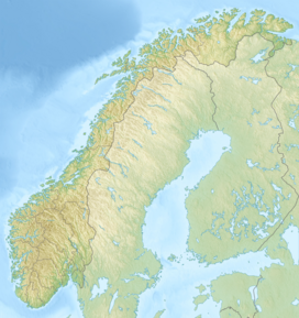
Piperberget is a mountain ridge to the east of Harestua, Lunner municipality, Akershus, in southern Norway. Piperberget lies just to the northeast of Langpiperen lake and is 611m at its highest peak.[1]
References
[edit]- ^ "Norgeskart". norgeskart.no. Retrieved 2021-01-23.

