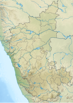
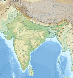
Supa Dam
This article needs additional citations for verification. (March 2023) |
| Joida | |
|---|---|
 The Back waters of Supa Dam. | |
| Country | India |
| Location | Joida |
| Coordinates | 15°16′34″N 74°31′36″E / 15.27611°N 74.52667°E |
| Status | Operational |
| Construction began | 1974 |
| Opening date | 1987 |
| Dam and spillways | |
| Type of dam | Concrete gravity |
| Impounds | Kalinadi River |
| Height | 101 m (331 ft) |
| Length | 332 m (1,089 ft) |
| Reservoir | |
| Total capacity | 4,178,000,000 m3 (3,387,160 acre⋅ft) |
| Active capacity | 4,115,000,000 m3 (3,336,085 acre⋅ft) |
| Catchment area | 1,057 km2 (408 sq mi) |
| Power Station | |
| Commission date | 1985 |
| Hydraulic head | 72 m (236 ft) (design) |
| Turbines | 2 x 50 MW Francis-type |
| Installed capacity | 100 MW |
Supa Dam is built across Kalinadi (Kannada) or Kali river in state of Karnataka in India and is the tallest dam in Karnataka. The 101 meters high and 332 meters long dam has 3 gates of 15x10 meters.[1] The dam's gross capacity is 4.178 cubic km or 147 tmc ft. It is situated at GaneshaGudi, which is in Joida taluk of Uttara Kannada district. The dam forms the main storage reservoir to all the power houses in Kalinadi hydro power project of total installed capacity of 1180MW, which includes main Nagzari power house of 810 MW capacity. The power house at the foot of the dam has two 50 MW electricity generators. The electricity generated is supplied to different parts of Karnataka. The dam was built by Hindustan Steel Works Construction Limited and is designed, owned and operated by Karnataka Power Corporation Limited. The power house was commissioned in 1985. The dam is basically used for generation of hydro electricity.
See also
[edit]References
[edit]- ^ "Supa dam – Dams in India". Retrieved 22 March 2023.
External links
[edit]
- Dams in Karnataka
- Hydroelectric power stations in Karnataka
- Buildings and structures in Uttara Kannada district
- Tourist attractions in Uttara Kannada district
- Dams in Western Ghats
- Dams completed in 1987
- 1985 establishments in Karnataka
- 20th-century architecture in India
- Uttara Kannada district geography stubs
- Indian dam stubs
- Indian power station stubs


