Trappeto
Aspetto
| Trappeto comune tagliàne | |||
|---|---|---|---|
 | |||
| |||
| State | |||
| Reggione | |||
| Provinge | Palermo | ||
| Coordinate | 38°04′00″N 13°02′00″E | ||
| Altitudine | 8 m s.l.m. | ||
| Superficie | 4,18 km² | ||
| Crestiàne | 3 123 (2008) | ||
| Denzetà | 747,13 cr./km² | ||
| Comune 'nzeccate | Balestrate, Partinico, Terrasini | ||
| CAP | 90040 | ||
| Prefisse | 091 | ||
| Codece ISTAT | 082074 | ||
| Cod. catastale | L332 | ||
| Nome javetande | trappetesi | ||
| Patrone | Maria SS. Annunziata | ||
| Sciurne festive | 25 marzo | ||
| Site istituzionale | |||
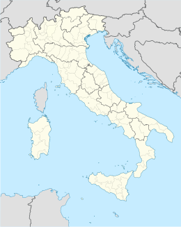
Trappeto éte 'nu comune tagliáne de 2.771 crestiáne.
Categorije:
- Pagine con argomenti di formatnum non numerici
- Stub
- P625 uguale sus Uicchidate
- Prefisso telefonico locale uguale a Wikidata
- Codice ISTAT uguale a Wikidata
- P18 assende sus Uicchidate
- P41 assende sus Uicchidate
- P94 assende sus Uicchidate
- P281 uguale sus Uicchidate
- P806 uguale sus Uicchidate
- P856 uguale sus Uicchidate
- P2044 differende sus Uicchidate
- P2046 differende sus Uicchidate
- Comune d'a Sicilie
- Comune d'a provinge de Palermo
- Pàggene cu le mappe

