Woodruff, Idaho
Appearance
Woodruff, Idaho | |
|---|---|
 Malad River in Woodruff | |
| Coordinates: 42°02′10″N 112°12′53″W / 42.03611°N 112.21472°W | |
| Country | United States |
| State | Idaho |
| County | Oneida |
| Elevation | 4,485 ft (1,367 m) |
| Time zone | UTC-7 (Mountain (MST)) |
| • Summer (DST) | UTC-6 (MDT) |
| ZIP codes | 83252 |
| Area code(s) | 208, 986 |
| GNIS feature ID | 398384[1] |
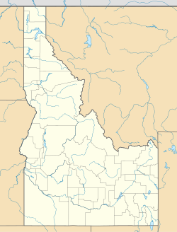
Woodruff is an unincorporated community in southeastern Oneida County, Idaho, United States.[1]
Description
[edit]The community is located in the Malad Valley, along the Malad River and Interstate 15, 10 mi (16 km) south of Malad City.[2]
History
[edit]The first settlement at Woodruff was made in 1865.[3] A post office called Woodruff was established in 1894, and remained in operation until 1909.[4] The community was named in honor of Wilford Woodruff, 4th President of The Church of Jesus Christ of Latter-day Saints.[3]
See also
[edit]References
[edit]- ^ a b "Woodruff, Idaho". Geographic Names Information System. United States Geological Survey, United States Department of the Interior.
- ^ "Woodruff, Idaho - Community Profile". RoadsideThoughts. Retrieved May 6, 2017.
- ^ a b Lund, Anthon Henrik (1922). The Utah Genealogical and Historical Magazine. Geneal. Society of Utah. p. 43.
- ^ Forte, Jim. "Post Offices: Idaho: Oneida County". postalhistory.com. Retrieved January 19, 2018.
External links
[edit]![]() Media related to Woodruff, Idaho at Wikimedia Commons
Media related to Woodruff, Idaho at Wikimedia Commons


